Category Archives: Hikes

Mt Princeton

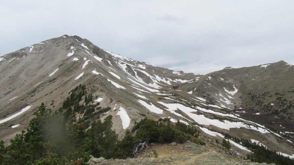
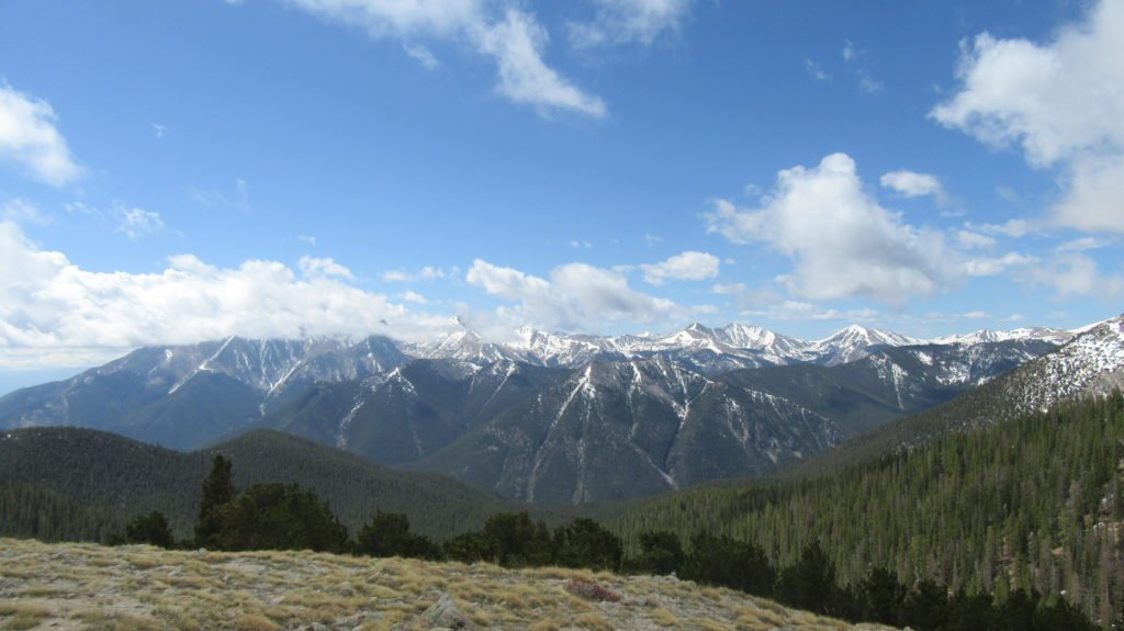
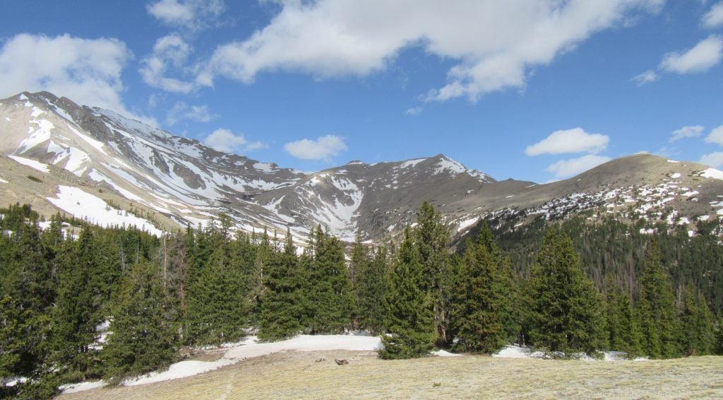
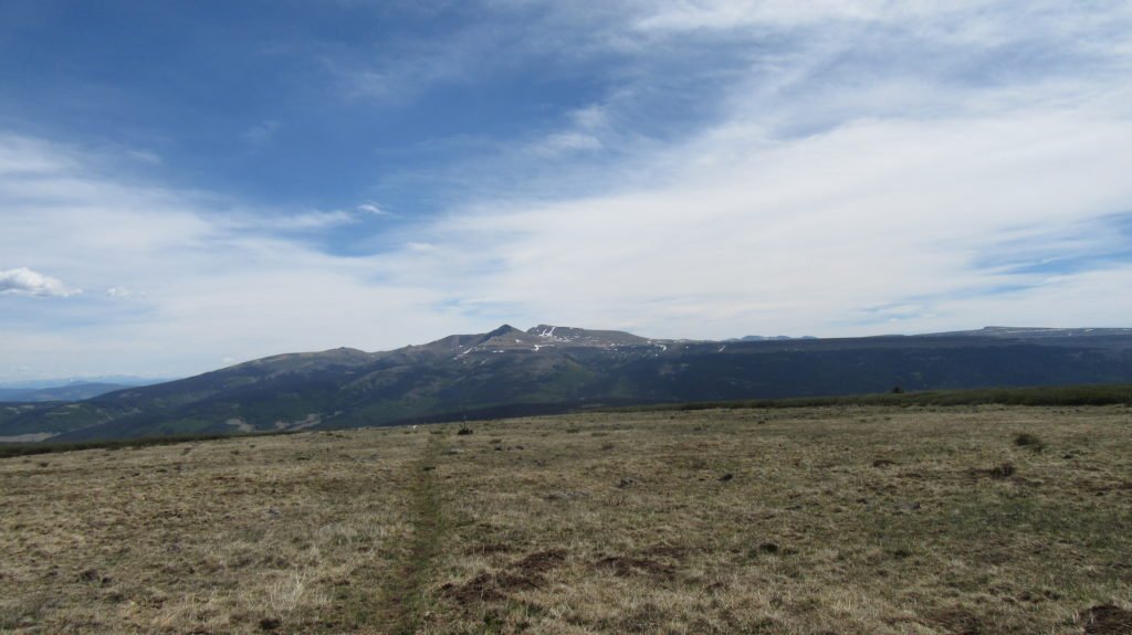
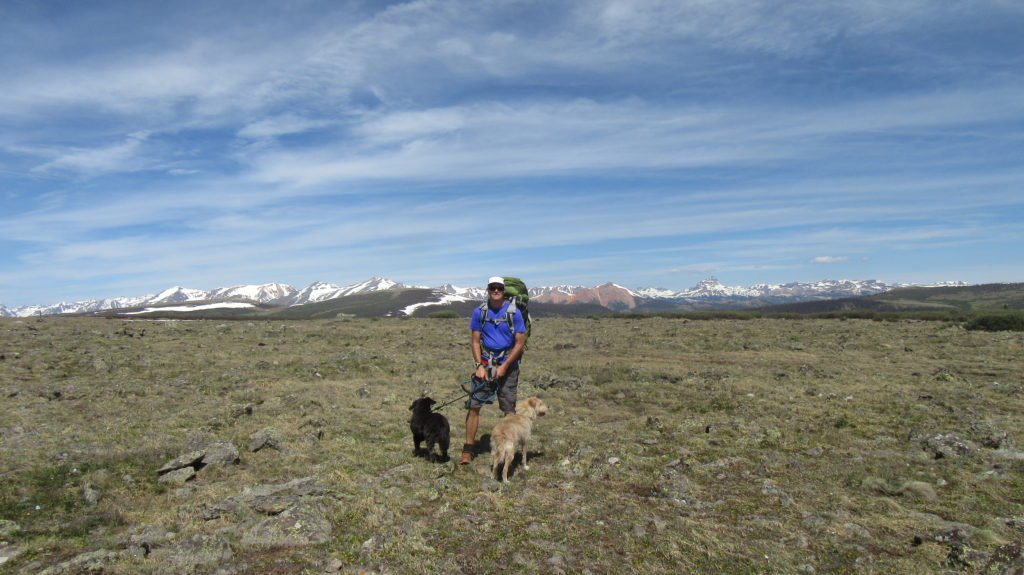
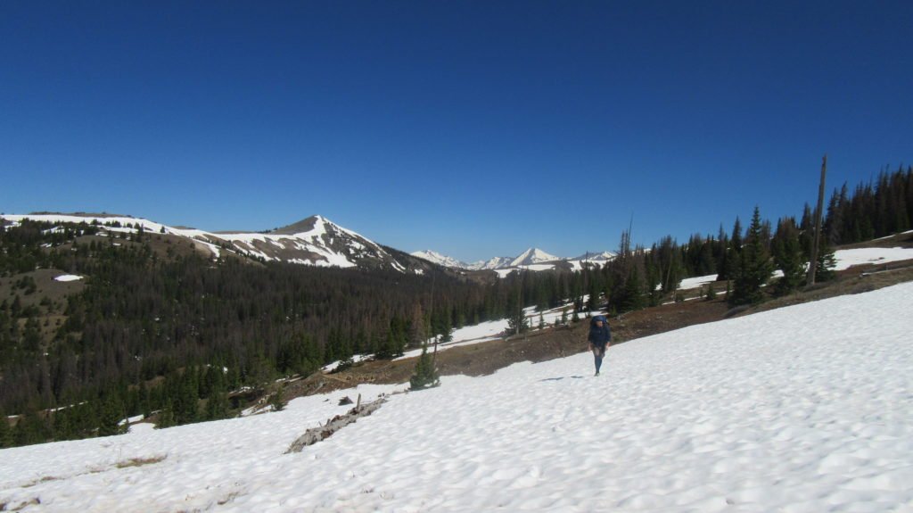
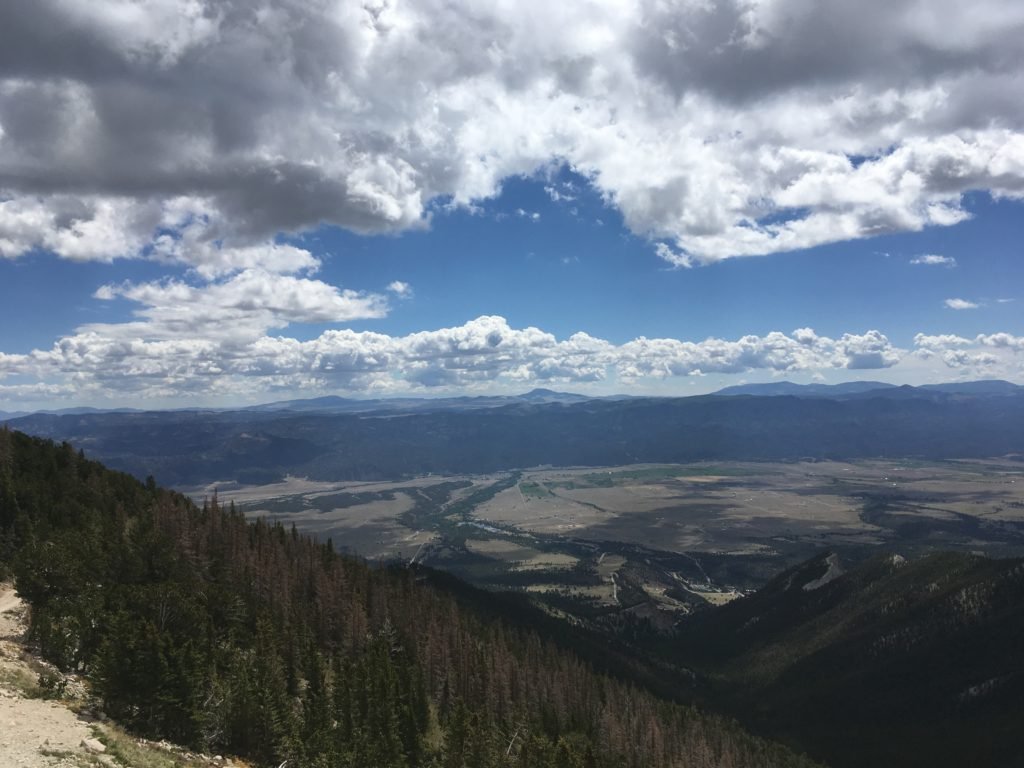
The day after I climbed Yale, the dogs and I headed to the Colorado Trail for a long walk.  Once we climbed to the ridge, there was a fantastic view of Mt Yale.  The route I climbed on Saturday is the right slope.

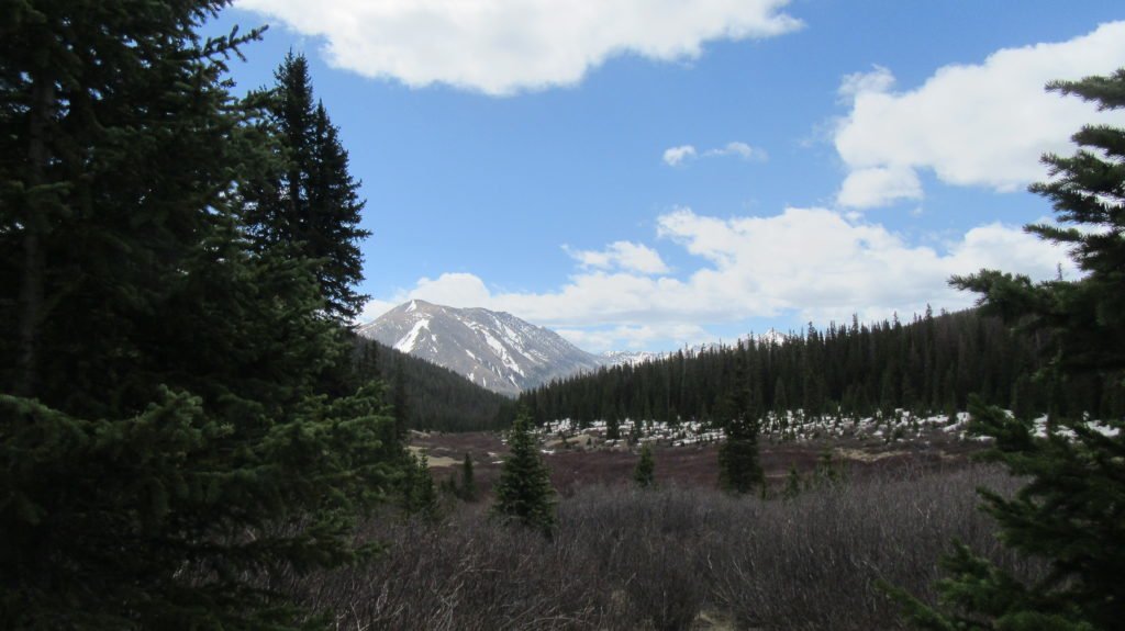
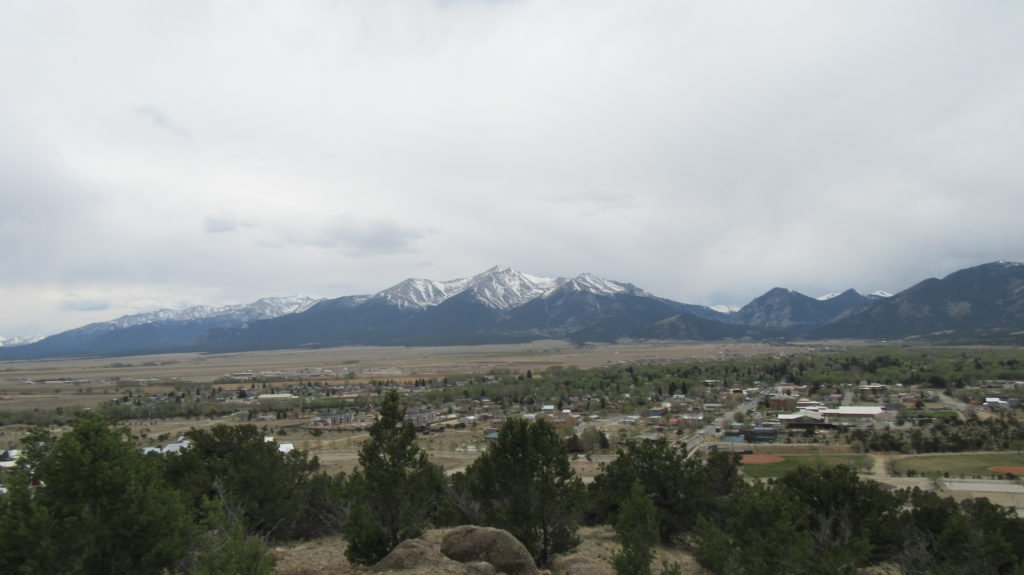
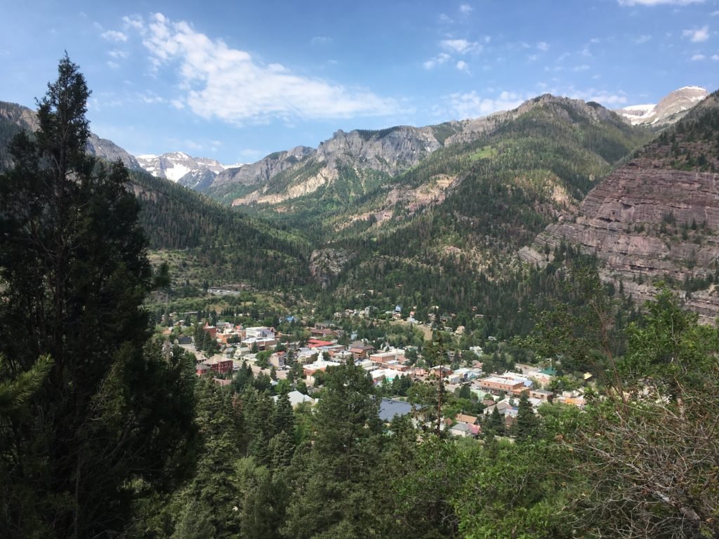
The trail curls around and runs parallel to the valley.  There is a great view of BV for several miles.  Unfortunately,  on the way back, I rolled my ankle and fell down.   It’s unbelievable that I can climb a technical mountain and have no problems, but then fall down on a flat easy trail.

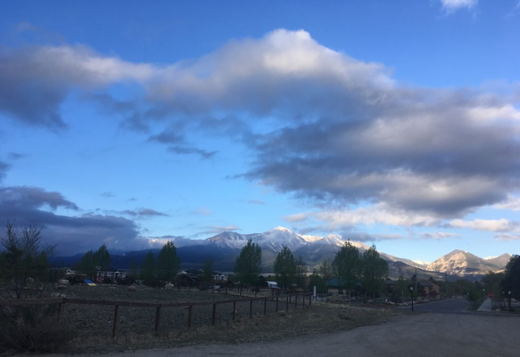
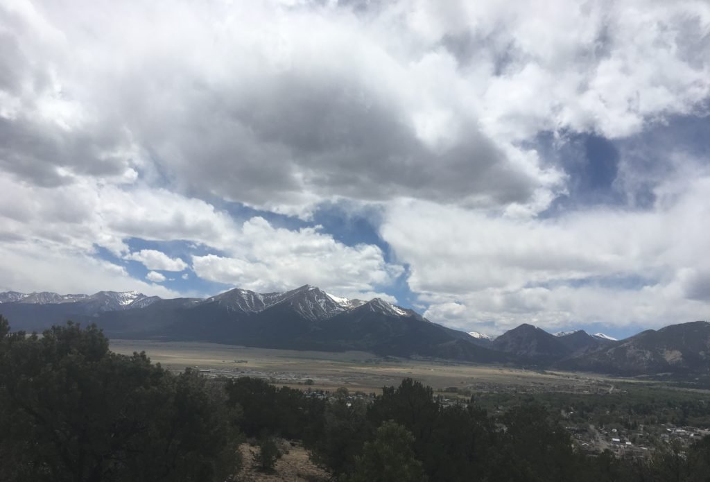
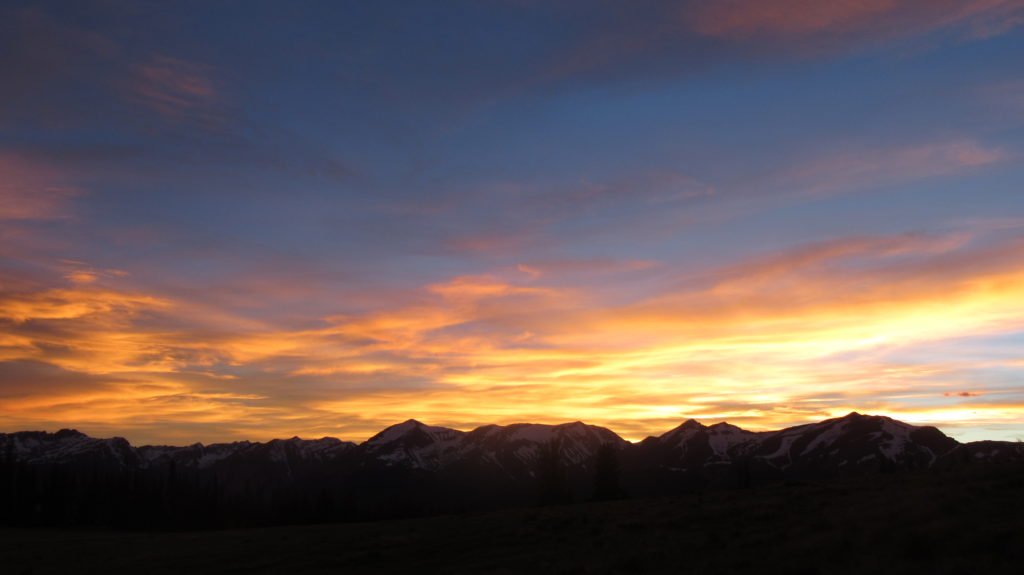
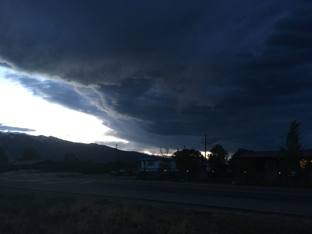
That night, a storm rolled in and made great cloud formations.

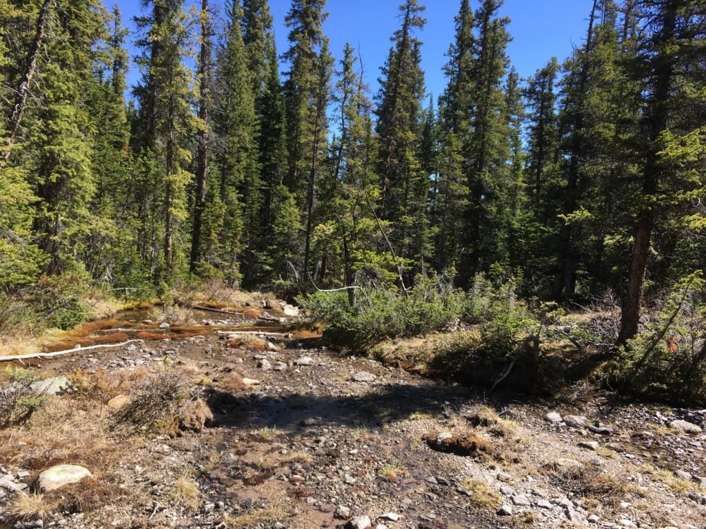
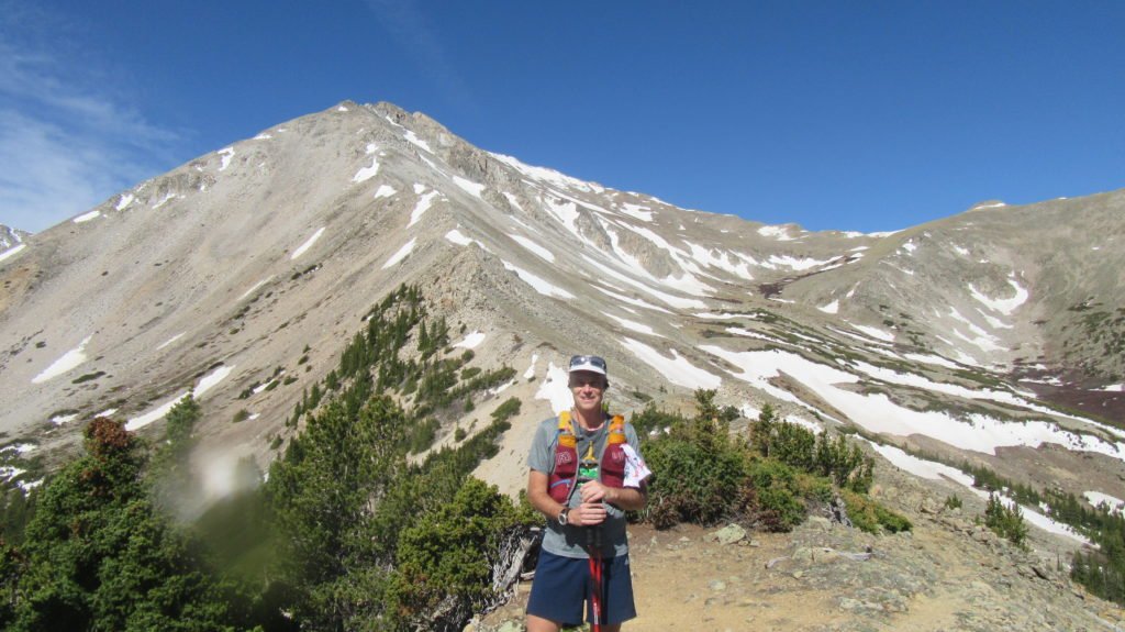
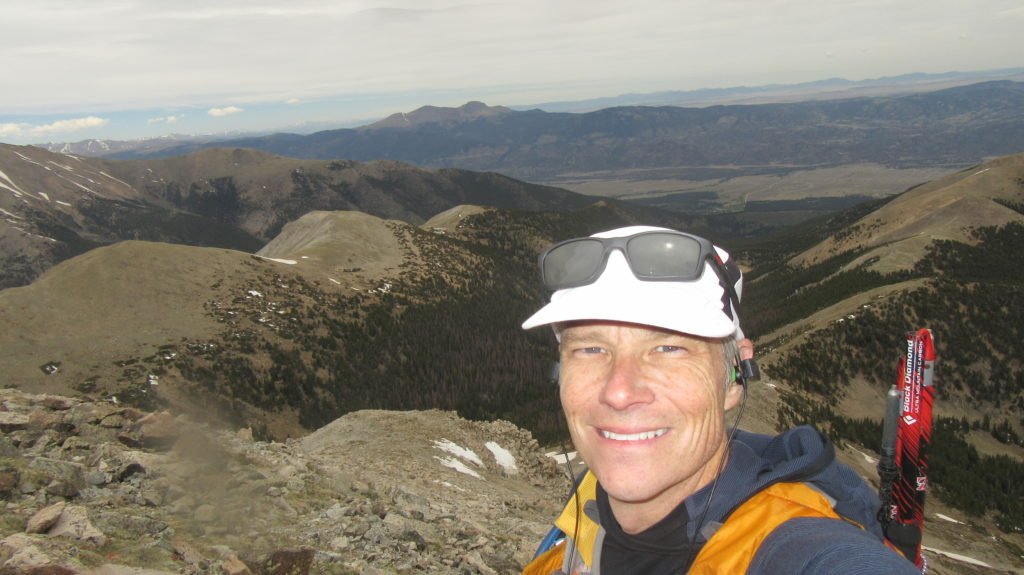
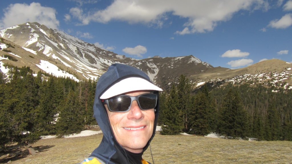
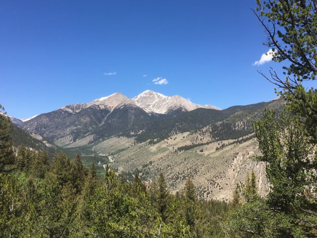
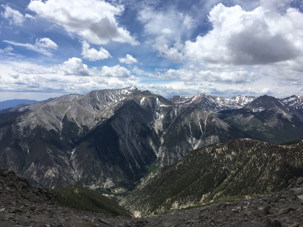
Yesterday, I drove to Mt Princeton’s trailhead.  From the trailhead, I followed a dirt road for 5 miles switch-backing up the mountain.  The road was really rough and very narrow, but several trucks had driven up it.  Near the end of the road, the trail broke to the right and dropped into the Princeton Col.  It skirted the ridge, eventually climbing to the southern shoulder.

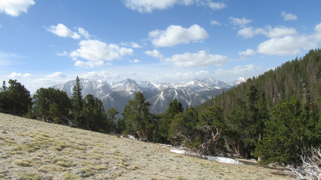
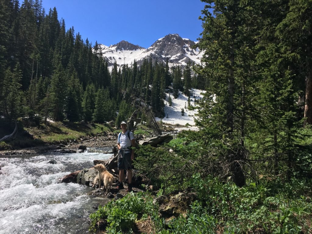
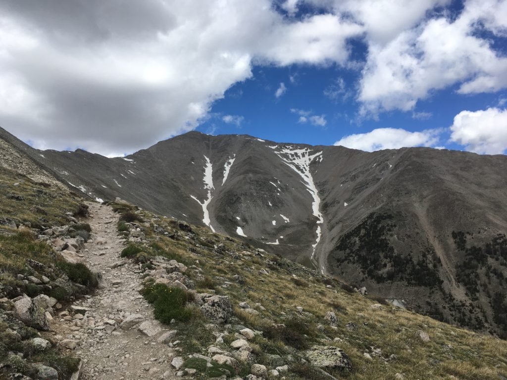
There was a lot of boulder scrambling along the way.

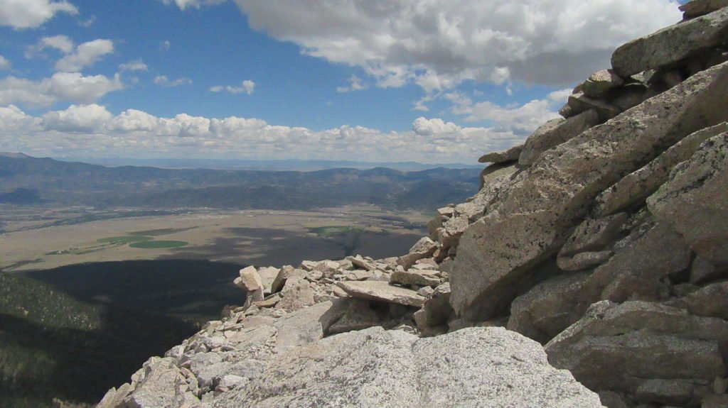
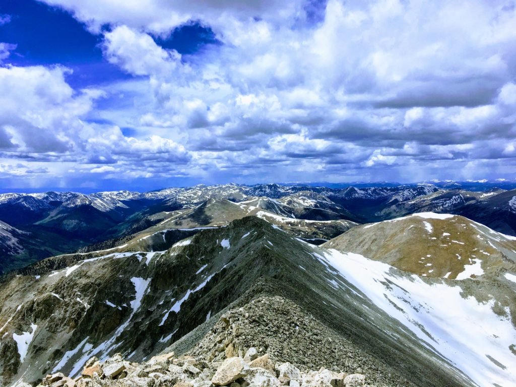
The climb was fairly easy until the final pitch, which was really steep.

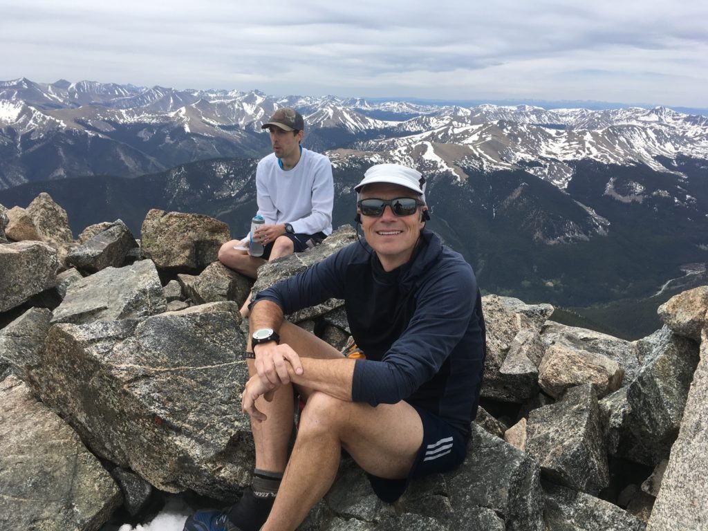
Google did a little magic on the picture below

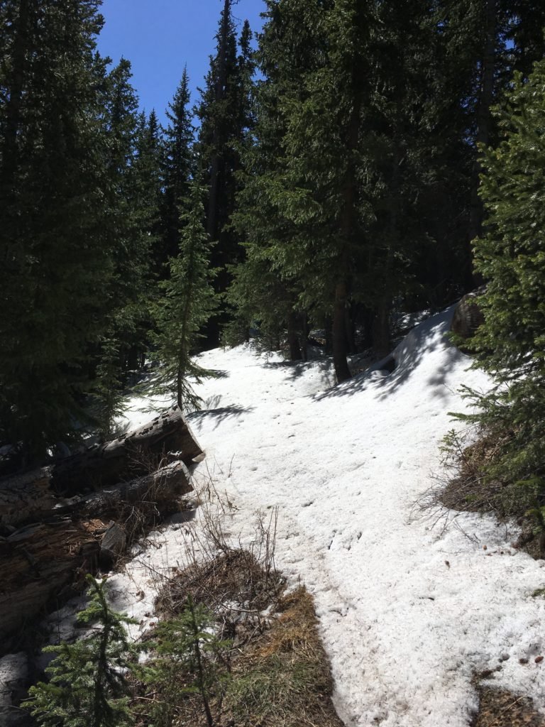
It’s hard to see in the picture below, but it started snowing on the way down.  Once I got 2 miles down the road, a truck was passing and picked me up and gave me a ride to the bottom.  I was very appreciative since the snow had turned to rain.

A busy week in BV

Tracy had to go home on Monday to meet her friend in Austin.  The dogs and I were so sad to see her go.  However, it was a very busy week.  We took it easy on Monday and Tuesday with just yoga and walks to the dog park.  On Wednesday, the dogs and I headed to a different spot on the Colorado Trail.  The section has a big climb on to a ridge that gives a great view of the valley.  On the way to the ridge, you pass through beautiful Aspen forests.

On Thursday, I tried to get across Laws Pass again, but this time from the North.  I had to drive up a tough dirt road to a trailhead, that will be an aid station in the race I’m doing in August.  The trail was incredible, but I started to hit snow around 11,200ft.  I tried to go around it, but ended up getting lost (I found the trail eventually) but I stumbled across this moss covered stream.  It was breath-taking.

I post holed for a long while and finally threw in the towel about 500 vertical feet below the pass.  The picture below shows the depth of snow on the trail when I turned around.

On Friday, I went to yoga for the 3rd this week and then decided to run(ended up being a hike) up Midland Hill.  The hill is the high point on the East side of the river.  It was harder than I thought; the climb was over 1,700ft to reach the top.  The view of BV was incredible.

Today, I decided to try the East ridge of Mt Yale again.  I was hoping the snow was melted enough for me to climb the whole ridge to the summit.  The climb was much more challenging than I expected.  There were many pitches and a few of them Class 3.  Lots of scree and big boulders to work across.   There isn’t much of a trail, so I needed to pick a safe route up the spine in the left part of the picture below.  Fortunately, most of the snow was melted so there were only a few detours.

I met a guy from Denver at the start of the spine climb.  We soon passed a mom and son that needed a little route guidance.

My poles were a hindrance except for the snow fields so I packed them away for most of the climb.

We finally made it to the top at 14,199 ft.  There were a few other people there, but they’d come up the easier route from the South.  We climbed about 5,500 ft in total to get there.

Tomorrow, I’ll take the dogs back to the Colorado Trail for a short hike.  On Monday, I think I’ll give Mt Princeton a shot

Week 2 in BV

We are in our 2nd week in BV.  We’ve been doing something outdoors every day.  The terrain is rough and it’s tough on Izzy so I got her some socks for walking on gravel.  They work great until we find a river.

Every morning we go to the dog park at sunrise.  This was the view on Monday morning.

Monday afternoon, we hiked a longer trail on the other side of the river.   The new trail goes a little higher up so we got a bigger view of BV.


Today I went back to Avalanche Trailhead for my last big climb before the Jemez race this weekend.  I wanted to break my 1:22 time to the saddle, and I did with a 1:10.  I felt great and can definitely feel myself becoming acclimatized.  I climbed the little peak to the right which took me over 12k feet.  I decided to run down and made it in 38 minutes.


Getting some climbing in

The last two days, I’ve given the dogs a break since they seemed spent.  I’ve still gone out and climbed a lot to make sure I’m acclimatized for the Jemez race this weekend.

Yesterday, I went back to the same trail and climbed to the saddle in 1:22, which I thought was good until I looked on Strava and saw the record was 50 minutes…

I had hoped to pick my way up the east ridge of Mt Yale, but as you can see it was snow covered.  I then turned East to the unnamed mountain and started to climb.  However, once I cleared tree line the cold winds were miserable so I just decided to run down.  I made it in 44 minutes which makes the 50 minute record even more impressive.

Today I drove to St Elmo, which is an old mining town.  The drive was beautiful and the town is mainly summer homes and a general store.  I was looking for the Popular Gulch trail which is part of the race I’m running in August.  I found the trailhead and started up 1,000ft of switchbacks along a creek.  Once I reached the top, the trail flattened a bit and opened into a beautiful mountain valley.  I hiked through the valley and started switching up the northeast face and again encountered deep snow around 11,600ft.  Once again I turned back and ran down the trail.  My reward was a calorie rich ice cream cone from the general store.

I was almost at the town when I came across this little guy looking for sunshine.  The road I was following doesn’t have a lot of traffic, but I shewed him away to keep him safe.

Tomorrow is Yoga in the morning and a trail run on the east side of the river in the afternoon.


First few days in BV

Over the past few days, the dogs and I have explored some of the trails around BV.  On Wednesday, we climbed up the bike trail across the river and took the Whipple trail back down.  Great views of Mt Princeton.

On Thursday, we went 10 miles West of town to the Avalanche Trailhead.  We hiked the CT and  climbed up 2600ft to the top of the pass.  Tomorrow, I’m going to go back without the dogs and do the same hike, but continue West and see how far I can get up the East ridge of Mt Yale.

The dogs are crazy about “mountain gerbils” – they want to dig at every hole.

There is still lots of snow and Darby and Izzy don’t know what to think about it.  Both dogs love to stick their heads in it and Darby also rolls in it like a polar bear trying to dry itself off.

When we reached the top, the dogs were on alert for any wildlife.

Afterwards, we went to happy hour for beers and dinner.  The dogs were exhausted and soaked up the sun.

Today, we went back to the same trailhead and went the other direction.  We did a 5 mile out and back to the river.   The trail rolls a lot, but in total we only climbed about 800ft.  Izzy gets hot and likes to lie down in creeks.

Durango

Tracy rented an awesome house in Durango.  It’s on 19 acres; has a great view and a horse.

There isn’t air conditioning so we wait for the sun to go down to go upstairs and shoot pool.

Izzy and Darby don’t know what to think of the horse.  They are curious and scared at the same time.  Darby has tried to bite the horse’s nose several times.

Tracy thought these chairs were perfect for our very own Cialas commercial.

It gets hot in the afternoon so every morning we get out for a hike.  This is the Animas River trail.  It’s about 10 miles long and goes through Durango.

This is the Animas mountain trail.  IT climbs 1500 feet to a mesa in the center of town.  The total trail is about 6 miles long.

Coming down the mountain trail, Izzy was delighted to chew on a deer leg.

Tomorrow we drive back to Austin.


Ouray

Well stayed in Ouray for a few days.  While I didn’t go backpacking, we did do a few hikes in the area.

We drove to the Blue Lakes trailhead which is the same place that Bob took me almost 40 years ago.  The trail is steep, but really nice.  Here’s a bunch of pictures from the hike.  We made it to the lower lake before turning back since the snow was getting deep.


This is looking down into the valley to what 40 years ago used to be a lake created by a beaver damming up the streams.  The beaver must be gone since it’s returned to a nice meadow.

The next day we hiked to the waterfall in town and ended up on the perimeter trail of Ouray.  The views were amazing.

The trail was longer that we thought and when we got back to town, both dogs climbed into the fountain to cool off.

Today we are off to Durango.

A night at a yurt

Last night we hiked to a yurt that is 9 miles into segment 22 on the Colorado Trail.  The plan was for Tracy, the dogs, and me to spend the night and then I’d go on and Tracy and the dogs would go back.  Since the snowpack is still extreme, I hiked back with them and we drove to our next lodging stop in Ouray.

The hike is mainly up hill, but following a line of mesas into a canyon at the foot hills of the San Juan Mountains.

The dogs did really well on the hike except that the ground was covered with holes for little creatures that Tracy called “mountain gerbils”.  The dogs went a little crazy trying to find them.

We made it to the yurt early afternoon.  It was much nicer than we expected, containing bunk beds, a woodburning stove, a propane stove for cooking, and lots of table and chairs.  It was positioned on the side of a hill overlooking a spring filled, meadow.  We played cards and enjoyed the view.

The yurt is open to all hikers (for a fee) and since there are very few people on the trail, we thought it was all ours; but that changed close to sunset.  We heard someone step on the deck and were introduced to Jay, a Continental Divide Trail thru hiker (his blog: www.jayvandam.net/)

Jay was pleasant, hungry, and happy to have a warm place to sleep.  We all enjoyed the incredible sunset views from the deck of the yurt.

Tomorrow is an off day and I’m going to need to figure out where I can trek to that isn’t covered with 6 feet of snow.

3 days without snow

I tried it again, but this time I checked ahead with the trail foundation on the snow levels and there was none where I was heading.   I decided to do Segment 17 and most of Segment 18 as an “out and back” to a creek to see if it was passable for the trail foundation.

Tracy and the dogs hiked the first 4 miles with me.  It was a reasonably flat segment with nice weather.

The trail followed a lot of dirt roads and rolling hills.  The weather couldn’t have been better.

This is the creek I went to check on.  While you definitely get wet crossing it, the water wasn’t moving that fast.

This was my campsite the 2nd night.  The temperature in the morning in the tent was a pleasant 40 degrees but the first night it was 26 degrees.  I was never cold, my new sleeping bag kept me cozy.

Tracy met me at the trailhead and we went to our cabin in Lake City.  We spent a lazy day around town.  Here are the dogs enjoying the Gunnison River.

After the river we had a long lunch at a local diner named after a famous madam and poker player in Colorado.

Tomorrow we are all setting off on the trail.  We are hiking 10 miles to a yurt for the night.  I checked with the trail foundation and supposedly the trail is clear.  The following day I’m going back with Tracy since the next part of the trail is over 13,000 feet and there is no way I can make the mileage I need to in the snow.

Snow, Snow, and more Snow

We made it back from our first section of the trail, but we were only partially successful.  The snow pack was hefty.  While I expected a little snow, I didn’t expect full coverage over 10,500ft.  I added a few pictures to show the 3 days out there.  My buddy, CW, headed home today and I’m going to do an out and back on section 18 and 19 to check out a creek which is most likely too high to cross.  The remainder of the trail is on the Continental Divide so it’s doubtful that I will be able to do much of it; so Tracy, the dogs, and I will be doing a lot of day hiking.

Here’s the 3 of us and the dogs taking off.  Tracy and the dogs turned back at 4 miles and we kept on heading up the trail.

Starting to see a little snow.

After the last bridge on Fooses Creek, we hit snow and it eventually covered the entire trail.

No dry spots to camp during the first night so we found a flat spot in the snow covered forest.  I estimate the base to be between 6-8 feet.

CW packing up in the morning.

Just happens that we had to climb steepest hill on the trail… 600 foot climb over less than a half of mile.

We attempted to make our own switchbacks since there was no was to find the trail.   I failed to bring my ice axe and crampons so the slope was too steep and icy to walk up.  We decided to slide down and look for another place to get up it.

We finally made it to the top but not more than a mile later we had to find a way down into the next valley.  Glissading worked the first time so we did it again.

We then headed off into the woods only to struggle to find the trail and post hole in the deep snow.

Then we had to climb out again, but this was a much more manageable slope.

The snow lightened up a bit, but finding the trail was really challenging.

After dropping below the snow, we started to climb again and hit snow again…. We’d had enough and backtracked to a beautiful meadow and camped there for the night.

The next day we hiked down a dirt road for 9 miles until a guy named Lynn gave us a ride to he Pub and Grub in Poncha Springs where Tracy picked us up.